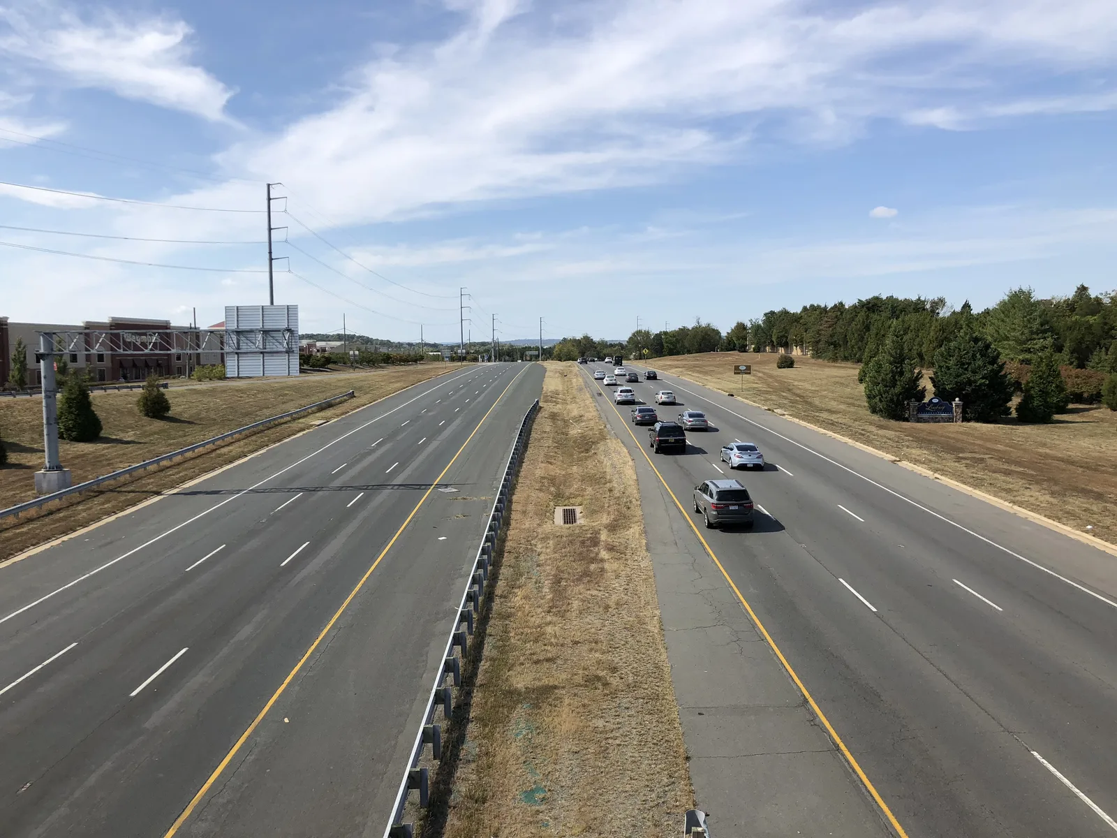
The Village at Leesburg is a mixed-use district on Route 7 with 559 homes on Loudoun County's map, mostly apartments, and a Wegmans inside it.
Last checked Oct. 20, 2026. Sources: Loudoun County’s residential communities map and address points, the Town of Leesburg’s business districts and trash collection areas layers, Loudoun County Public Schools’ 2026-27 attendance zone layers, the Virginia Department of Education’s School Quality Profiles, Zillow Research, Loudoun County Transit’s schedule data and OpenStreetMap.
The Village at Leesburg is a development on Route 7 at the east end of town that Loudoun County classes as mixed use, with homes and businesses together. The Town of Leesburg puts it in its Eastern Gateway business district and says the development “has created a new gateway to the Town.” Loudoun County’s residential communities map counts 559 homes in it as of July 2025: 84 townhouses and 475 multifamily homes, out of 563 approved, on about 155 acres.
What this means for you
- Zoned high school: Heritage High for every address.
- Home value: $827,121 in ZIP 20175 in September 2026, according to the Zillow Home Value Index. That figure covers all kinds of homes across the ZIP code, not only apartments.
- Nearest highway interchange: Route 7 at Battlefield Parkway, about 1.1 miles by road.
Part of our Leesburg neighborhoods guide.
Where it is
On the county’s map, the Village at Leesburg lies just south of Route 7 (East Market Street), between Cochran Mill Road and Crosstrail Boulevard. Russell Branch Parkway and Village Market Boulevard SE run through it. All of it is in ZIP code 20175, and about 95% of its land is inside the town limits. OpenStreetMap names it as a neighborhood. Potomac Station is across Route 7 to the north.
Schools
Laying Loudoun County Public Schools’ 2026-27 attendance zones over the county’s address points, every one of the 198 address points here is in the same three zones:
| Level | School | State rating (2025-26) |
|---|---|---|
| Elementary | Cool Spring Elementary, 501 Tavistock Drive SE | Meets Expectations, 89.77 |
| Middle | Harper Park Middle, 701 Potomac Station Drive NE | Meets Expectations, 87.84 |
| High | Heritage High, 520 Evergreen Mill Road SE | Distinguished, 94.7 |
All three are Fully Accredited. An address point can stand for an apartment building, which is why the count is lower than the number of homes. Confirm an address in the district’s LABEL lookup. More in our schools guide.
Home values
The typical home value in ZIP 20175 was $827,121 in September 2026, up $22,504, or 2.8%, from September 2025, according to the Zillow Home Value Index. Zillow’s figure for Leesburg as a whole was $848,639. These are modeled values for the middle third of homes, not sale prices or rents. More in our home prices guide.
Parks and trails
The Town of Leesburg’s parks layer lists no town park inside the development. The nearest town parks are Tuscarora Park, 425 Solitude Court SE, and the Washington and Old Dominion Trail, both along Kincaid Forest, about a mile to the west. More in our parks and trails guide.
Getting around
- Highways: the Route 7 interchange at Battlefield Parkway is about 1.1 miles away and the Leesburg Bypass interchange at East Market Street about 1.9 miles. Route 7 east leads to Ashburn and Sterling.
- Downtown and airport: Market and King streets are about 3.2 miles away and Washington Dulles International about 15.5 miles. These are distances on the OpenStreetMap road network with the OSRM routing engine, from the middle of the development, not drive times.
- Buses: fare-free Loudoun County Transit Route 57, which the county names “Village at Leesburg/Wegmans,” stops inside at Wegmans and on Russell Branch Parkway, according to the county’s schedule data. See the bus schedules.
More in our getting around guide.
Trash pickup
Inside the town limits, the town collects trash and recycling here on Friday, its Southeast day. See our trash and recycling guide.
Groceries and everyday stores
From OpenStreetMap:
- Wegmans and Wegmans Pharmacy, 101 Crosstrail Blvd., inside the development
- Giant and Giant Pharmacy, Potomac Station Drive NE, about 0.7 mile in a straight line
- Aldi, Robinson Mill Plaza, about 0.7 mile
How we drew this area
The edges are the Village at Leesburg’s outline in Loudoun County’s residential communities map; the Town of Leesburg’s business district map and OpenStreetMap name the same place. School zones, the ZIP code and the trash area come from laying the school, Census and town layers over the county’s address points. Store locations are © OpenStreetMap contributors.
Frequently asked questions
Where is the Village at Leesburg?
On the east side of town, south of Route 7 (East Market Street) between Cochran Mill Road and Crosstrail Boulevard. Russell Branch Parkway and Village Market Boulevard SE run through it, and it is in ZIP 20175.
What schools serve the Village at Leesburg?
Every address is zoned for Cool Spring Elementary, Harper Park Middle and Heritage High on Loudoun County Public Schools’ 2026-27 zone maps.
Are there homes at the Village at Leesburg?
Yes. Loudoun County’s residential communities map counts 559 homes as of July 2025, 84 townhouses and 475 multifamily homes, out of 563 approved.
Is the Village at Leesburg a good place to live?
Here are the facts. It has 559 homes, a Wegmans and a fare-free bus route inside it, and Heritage High as its zoned high school (Distinguished on the state’s 2025-26 ratings). The typical home value in ZIP 20175 was $827,121 in September 2026, according to Zillow.
Have your say