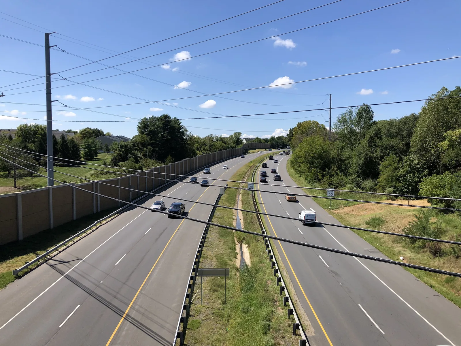
Stratford has 662 homes on Loudoun County's map, from houses to apartments, south of the Leesburg Bypass off Sycolin Road, and is zoned for Heritage High.
Last checked Oct. 20, 2026. Sources: Loudoun County’s residential communities map and address points, the Town of Leesburg’s parks and trash collection areas layers, Loudoun County Public Schools’ 2026-27 attendance zone layers, the Virginia Department of Education’s School Quality Profiles, Zillow Research, Loudoun County Transit’s schedule data and OpenStreetMap.
Stratford is a compact community on the south side of Leesburg, between the bypass and the Dulles Greenway. Loudoun County’s residential communities map counts 662 homes in it as of July 2025: 142 detached houses, 220 townhouses and 300 multifamily homes, on about 108 acres. OpenStreetMap names Stratford as a neighborhood, and it is entirely inside the town limits.
What this means for you
- Zoned high school: Heritage High for every address.
- Home value: $827,121 in ZIP 20175 in September 2026, according to the Zillow Home Value Index.
- Nearest highway interchange: Dulles Greenway exit 2, Battlefield Parkway, about 1.1 miles by road. The Greenway is a toll road.
Part of our Leesburg neighborhoods guide.
Where it is
On the county’s map, Stratford lies just south of the Leesburg Bypass (U.S. 15 and Route 7), with Sycolin Road SE along its eastern side. Hope Parkway SE, Sunset View Terrace SE, Baish Drive SE, Shirley Square SE and Park Gate Drive SE run through it. All of it is in ZIP code 20175. OpenStreetMap names Oaklawn, a separate community, as its neighbor to the south.
Schools
Laying Loudoun County Public Schools’ 2026-27 attendance zones over the county’s address points, every one of Stratford’s 375 address points is in the same three zones:
| Level | School | State rating (2025-26) |
|---|---|---|
| Elementary | Frederick Douglass Elementary, 510 Principal Drummond Way SE | Approaching Expectations, 81.33 |
| Middle | Harper Park Middle, 701 Potomac Station Drive NE | Meets Expectations, 87.84 |
| High | Heritage High, 520 Evergreen Mill Road SE | Distinguished, 94.7 |
All three are Fully Accredited. Frederick Douglass Elementary is north of the bypass, off East Market Street. An address point can stand for a building with several homes, which is why the count is lower than the number of homes. Confirm an address in the district’s LABEL lookup. More in our schools guide.
Home values
The typical home value in ZIP 20175 was $827,121 in September 2026, up $22,504, or 2.8%, from September 2025, according to the Zillow Home Value Index. Zillow’s figure for Leesburg as a whole was $848,639. These are modeled values for the middle third of homes, not sale prices, and ZIP 20175 reaches well beyond Stratford. More in our home prices guide.
Parks and trails
The Town of Leesburg’s parks layer lists no town park inside Stratford. The nearest is Tuscarora Park, 425 Solitude Court SE, with a picnic shelter, playground, restrooms and walking trails. OpenStreetMap maps a playground inside the community. More in our parks and trails guide.
Getting around
- Highways: Dulles Greenway exit 2 at Battlefield Parkway is about 1.1 miles away, the Route 7 interchange at Battlefield Parkway about 2.1 miles and the Leesburg Bypass interchange at South King Street about 2.3 miles.
- Downtown and airport: Market and King streets are about 2.2 miles away and Washington Dulles International about 15.1 miles. These are distances on the OpenStreetMap road network with the OSRM routing engine, from the middle of the community, not drive times.
- Buses: Loudoun County Transit’s schedule data shows no stop inside Stratford. Fare-free Route 56 stops close by on Sycolin Road at Hope Parkway and at Battlefield Parkway. See the bus schedules.
More in our getting around guide.
Trash pickup
The town collects trash and recycling here on Friday, its Southeast day. See our trash and recycling guide.
Groceries and everyday stores
OpenStreetMap shows no supermarket inside Stratford. The nearest, in a straight line from its middle:
- Walgreens, Sycolin Road SE, about 0.4 mile
- Food Lion, South King Street, about 0.8 mile
- Halal Point and International Market, East Market Street, about 0.9 mile
How we drew this area
The edges are Stratford’s outline in Loudoun County’s residential communities map; OpenStreetMap names the same place. School zones, the ZIP code and the trash area come from laying the school, Census and town layers over the county’s address points. Store locations are © OpenStreetMap contributors.
Frequently asked questions
Where is Stratford in Leesburg?
On the south side of town, just south of the Leesburg Bypass and west of Sycolin Road SE. Hope Parkway SE, Sunset View Terrace SE and Baish Drive SE run through it, and it is in ZIP 20175.
What schools serve Stratford?
Every address is zoned for Frederick Douglass Elementary, Harper Park Middle and Heritage High on Loudoun County Public Schools’ 2026-27 zone maps.
What kind of homes are in Stratford?
Loudoun County’s residential communities map counts 662 homes as of July 2025: 142 detached houses, 220 townhouses and 300 multifamily homes.
Is Stratford a good place to live?
Here are the facts. Stratford has 662 homes, a Walgreens about half a mile away and Heritage High as its zoned high school (Distinguished on the state’s 2025-26 ratings), about 2.2 miles by road from downtown. The typical home value in ZIP 20175 was $827,121 in September 2026, according to Zillow.
Have your say