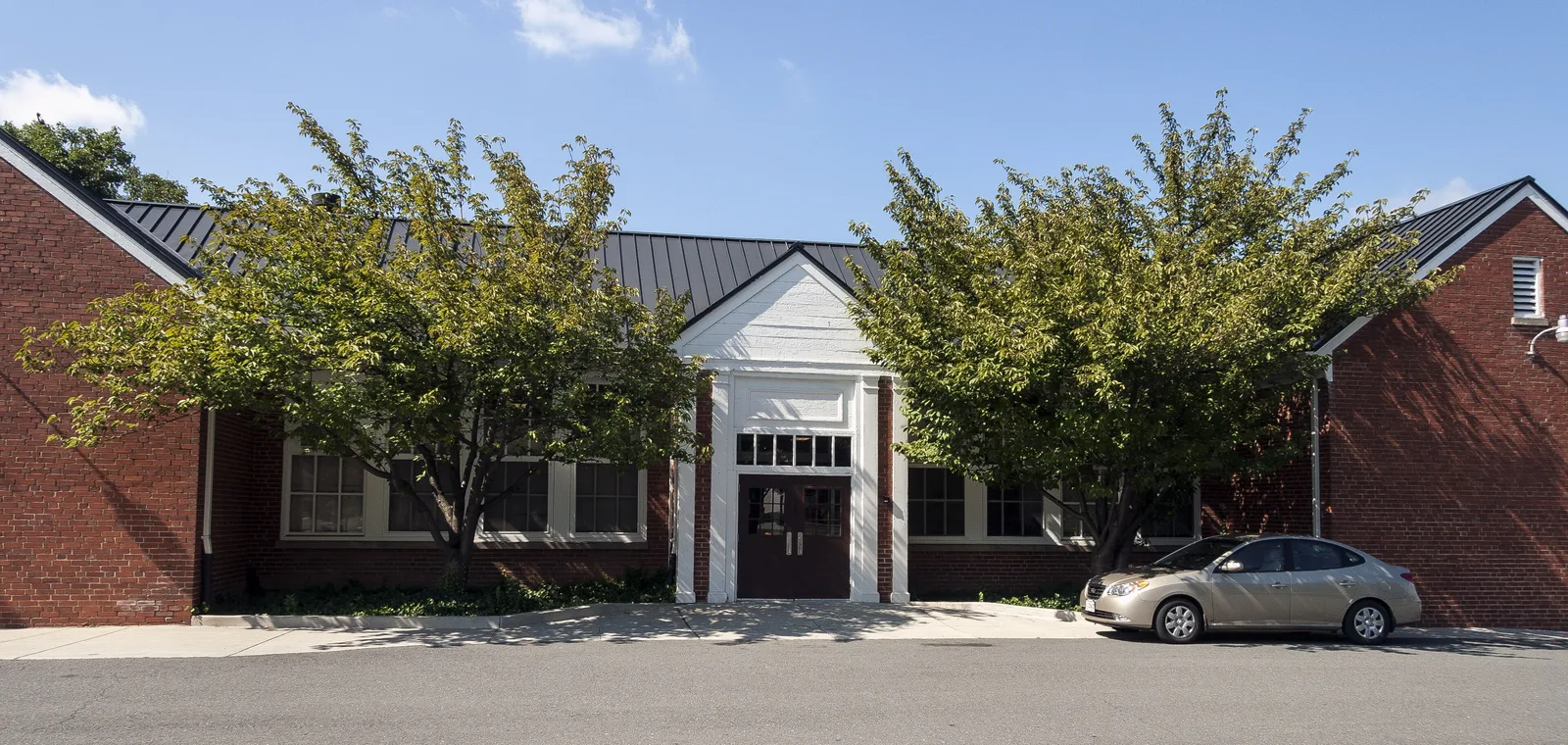
The Crescent District is the town's 403-acre ring of corridors along Catoctin Circle, East Market Street and South King Street around downtown Leesburg.
Last checked Oct. 20, 2026. Sources: the Town of Leesburg’s GIS layers (Crescent District, business districts, parks), Loudoun County Public Schools’ 2026-27 attendance zone layers, Loudoun County’s address points and residential communities map, the Virginia Department of Education’s School Quality Profiles, Zillow Research, Loudoun County Transit’s schedule data and OpenStreetMap.
The Crescent District is the band of older commercial corridors that curves around the south and east sides of downtown, inside the Leesburg Bypass. The Town of Leesburg maps it as a 403-acre design district and describes it as “the commercial corridors along Catoctin Circle, East Market Street, and South King Street” that “lead into the downtown area” and “offer a wide variety of business locations.” Homes sit among them, from townhouse communities to older streets.
What this means for you
- Zoned high school: split. Tuscarora High for about two-thirds of addresses, Loudoun County High for about a quarter and Heritage High for a few.
- Home value: $827,121 in ZIP 20175 in September 2026, according to the Zillow Home Value Index.
- Nearest highway interchange: the Leesburg Bypass at South King Street, about 1.6 miles by road.
Part of our Leesburg neighborhoods guide.
Where it is
On the town’s map the district wraps around downtown from South King Street on the southwest, along Catoctin Circle and East Market Street, to Edwards Ferry Road and Fort Evans Road on the northeast. The Leesburg Bypass (U.S. 15 and Route 7) forms most of its outer edge, and Harrison Street, Sycolin Road and South Street cross it. It does not overlap the Historic Downtown business district.
Of the county’s 629 address points in the district, 493 are in ZIP 20175 and 136 in ZIP 20176.
Loudoun County’s residential communities map, as of July 2025, shows Crescent Place (178 townhouses and 34 multifamily homes) built inside the district, and three approved mixed-use projects with no homes yet counted: Virginia Village (643 homes approved), Crescent Parke (344) and Crescent Sycolin (52). Check a project’s status with the town’s Planning and Zoning Department; see our permits and zoning guide.
Schools
Laying Loudoun County Public Schools’ 2026-27 attendance zones over the county’s address points:
| Level | School | Share of district addresses | State rating (2025-26) |
|---|---|---|---|
| Elementary | Richard and Mildred Loving Elementary, 800 N. King St. | About 66% | Meets Expectations, 87.54 |
| Elementary | Catoctin Elementary, 311 Catoctin Circle SW | About 10% | Distinguished, 92.53 |
| Elementary | Evergreen Mill Elementary, 491 Evergreen Mill Road SE | About 9% | Distinguished, 92.5 |
| Elementary | Frederick Douglass Elementary, 510 Principal Drummond Way SE | About 9% | Approaching Expectations, 81.33 |
| Elementary | Cool Spring Elementary, 501 Tavistock Drive SE | About 5% | Meets Expectations, 89.77 |
| Middle | Smart’s Mill Middle, 850 N. King St. | About 68% | Meets Expectations, 86.58 |
| Middle | J. Lupton Simpson Middle, 490 Evergreen Mill Road SE | About 27% | Meets Expectations, 88.9 |
| Middle | Harper Park Middle, 701 Potomac Station Drive NE | About 5% | Meets Expectations, 87.84 |
| High | Tuscarora High, 801 N. King St. | About 68% | Distinguished, 90.21 |
| High | Loudoun County High, 415 Dry Mill Road SW | About 27% | Distinguished, 90.1 |
| High | Heritage High, 520 Evergreen Mill Road SE | About 5% | Distinguished, 94.7 |
Leesburg Elementary takes a few more addresses. Frederick Douglass Elementary is inside the district. Because it is split among this many zones, check any address in the district’s LABEL lookup. More in our schools guide.
Home values
The typical home value in ZIP 20175 was $827,121 in September 2026, up $22,504, or 2.8%, from September 2025, according to the Zillow Home Value Index. ZIP 20176, which covers the district’s northeast end, was $828,624, and Zillow’s figure for all of Leesburg was $848,639. These are modeled values for the middle third of homes, not sale prices. More in our home prices guide.
Parks and trails
From the town’s parks layer:
- Olde Izaak Walton Park, 850 Davis Court SW: fishing, an off-leash dog park, walking trails and restrooms
- Raflo Park, 345 Harrison St. SE: gazebo, picnic tables and W&OD Trail access
- Brandon Park, 878 Harrison St. SE: fishing, a playground and picnic tables
- Catoctin Skate Park, 141 Catoctin Circle SE
- Douglass Community Center, 705-H E. Market St., run by Loudoun County: playground and field
- The Washington and Old Dominion Trail crosses the district
More in our parks and trails guide.
Getting around
- Highways: the Leesburg Bypass interchange at South King Street is about 1.6 miles away, the Route 7 interchange at Battlefield Parkway about 1.7 miles and Dulles Greenway exit 2, Battlefield Parkway, about 1.9 miles.
- Downtown and airport: Market and King streets are about 0.9 mile away and Washington Dulles International about 15.9 miles. These are distances on the OpenStreetMap road network with the OSRM routing engine, from the middle of the district, not drive times.
- Buses: Loudoun County Transit’s schedule data shows fare-free local Route 55 on King Street and Catoctin Circle, Route 57 on Catoctin Circle, Market Street and Fort Evans Road, Route 56 on Harrison Street and Route 70 on Market Street. See the bus schedules.
More in our getting around guide.
Trash pickup
The town collects trash and recycling here. Most addresses are in its Southeast area (Friday) and the northeast end in the Northeast Inside the Bypass area (Tuesday). See our trash and recycling guide.
Groceries and everyday stores
From OpenStreetMap, inside the district or on its edge:
- Giant and Giant Pharmacy, Catoctin Circle NE
- Safeway and Walgreens, South King Street
- Food Lion, South King Street
- CVS Pharmacy, Bellewood Pharmacy, International Market and Halal Point, East Market Street
- USA Market, Plaza Street NE
How we drew this area
The edges are the Town of Leesburg’s own Crescent District map layer. School zones, ZIP codes and trash areas come from laying the district over Loudoun County’s address points and the school and town layers. Store locations are © OpenStreetMap contributors.
Frequently asked questions
What is the Crescent District in Leesburg?
A Town of Leesburg design district of about 403 acres that curves around the south and east sides of downtown, along Catoctin Circle, East Market Street and South King Street, between downtown and the Leesburg Bypass.
What schools serve the Crescent District?
It is split. About two-thirds of addresses are zoned for Richard and Mildred Loving Elementary, Smart’s Mill Middle and Tuscarora High; most of the rest go to J. Lupton Simpson Middle and Loudoun County High, on the 2026-27 zone maps.
Are there grocery stores in the Crescent District?
Yes. OpenStreetMap shows a Giant on Catoctin Circle, a Safeway and a Food Lion on South King Street, and smaller markets and a CVS on East Market Street inside or at the edge of the district.
Is the Crescent District a good place to live?
Here are the facts. It has Olde Izaak Walton Park, Raflo Park, Brandon Park and the W&OD Trail, supermarkets on its main roads and about 0.9 mile by road to Market and King. The typical home value in ZIP 20175 was $827,121 in September 2026, according to Zillow.
Have your say